Tracking human rights violations with no certain access to satellite data
Published in The Ploughshares Monitor Spring 2024
Data from Earth observation (EO) satellites can be critical in identifying and documenting human rights abuses. But some satellite companies are currently restricting access by human rights organizations to geospatial data on Israel while Israel conducts military operations in Gaza. This situation raises questions about transparency, political leverage, and how decisions about who should have access to the data are made.
Satellite data and human rights
Easy access to open source and commercial satellite data in the last decade has revolutionized the ways in which media, aid agencies, and human rights organizations document and expose war crimes and grave human rights violations, particularly in places of conflict.
According to the Union of Concerned Scientists, there are currently more than 1,100 active EO satellites, with about half owned and operated by private entities. State-owned satellite programs such as the European Space Agency’s Copernicus or NASA’s Earth Observation Satellite have an open data policy that serves strategic interests, including exchange of information and climate diplomacy.
Governments and the military, the biggest clients of commercial satellite operators, have tools to block public access to certain images.
Growing private sector participation in EO has drastically expanded paid access to higher resolution imagery and specialized services. These private capabilities have also expanded public benefits; for example, some leading private companies have made data available to support humanitarian efforts.
In September 2017, Amnesty International used satellite evidence to show that the Myanmar military had burned villages in Rakhine State. The destruction forced nearly one million Rohingya men, women, and children out of the country. Over the last two years, human rights groups and media have also used satellite data to document Russia’s military invasion and destruction of Ukraine.
Timestamps and comparative analysis of satellite images have been used by media and human rights organizations to document changes in Gaza’s landscape following the latest Israeli invasion. The images showed the October deployment of hundreds of Israeli military tanks and armoured vehicles in northern Gaza, and how vast swaths of land have been destroyed by land and air strikes since the invasion began. But accessing useful data has not always been straightforward.
Clash of interests
Governments and the military, the biggest clients of commercial satellite operators, have tools to block public access to certain images. For example, parts of Israel and other militarily sensitive locations around the globe are completely blurred on public platforms such as Google Earth. As commercial imaging capabilities proliferate around the globe, maintaining such bans is becoming more difficult. However, other means continue to be available to shroud sensitive images.
States have a history of buying exclusive rights to images of areas they do not want anyone else to access; some commercial companies even specialize in selling exclusive rights to geospatial data. According to The Guardian, the U.S. Pentagon spent millions of dollars to secure exclusive rights to images of the effects of bombing in Afghanistan in 2001. Although the U.S. government already had the legal right to shutter control – a restriction on the imaging of certain areas – obtaining commercial rights was seen to be the most feasible way to prevent media from accessing the images.
As the EO industry has evolved, some commercial satellite operators have started offering nonexclusive rights to images as a strategy to expand their business and to make the data available to the media, the United Nations (UN), and human rights and humanitarian agencies.
While private satellite companies have no legal or commercial obligations to make geospatial data publicly available, providing commercial access can sustain the business and make public access to humanitarian data feasible, Agnieszka Lukaszczyk, Vice President, Government Affairs for Europe, Middle East and Africa at Planet Labs, told Geospatial World.
Some companies feel that releasing such data is their social responsibility, one that enables transparency and makes accountable not only the commercial providers but also governments and the military. The cases against Myanmar, Russia, and Israel currently before the International Court of Justice for grave international crimes have been documented with satellite evidence.
But some satellite operators face conflicting demands, some of which might threaten their businesses; some fear repercussions from their home governments for making geospatial data available to actors who may be considered a threat. For example, Canada’s Remote Sensing Space Systems Act has a provision to suspend or cancel the licence of an operator if their operation is deemed “injurious to … Canada’s conduct of international relations.”
So, while the demand for information from the media and humanitarian agencies is intense, companies must “balance the potential for operational harm,” says an industry expert. The potential for harm and abuse of the data can affect “our ability to deliver in other places of the world,” where it is also needed, says the expert. And so some operators self-censor.
The situation in Gaza
While many of the effects of the Israeli military operation on Gaza have been documented through satellite images, human rights researchers find it difficult to access high-resolution images of Israel. Access to such data is critical to the ability to investigate and corroborate claims of violence and human rights violations committed by Israel, Hamas, and other armed groups in the region.
The U.S. government has a unique cap on resolution for images of Israel; it explicitly prohibits national satellite operators from imaging at a higher resolution than the specified limit. Micah Farfour, Amnesty International’s Special Advisor for Remote Sensing, has expressed concern that companies and popular platforms that host the relevant images have further degraded the resolution over key areas in Israel.
Data governance
That states such as Israel and the United States have significant leverage over satellite service providers raises questions about data governance, transparency, and the accountability of the commercial satellite imagery industry.
Images from satellite operators provide important evidence for human rights organizations wanting to document human rights violations. But these organizations are often forced to rely on the goodwill of commercial operators that also serve major military and government clients. In the end, satellite operators could choose to deny services to legitimate users – the human rights organizations – to avoid displeasing these major clients.
Due regard for human rights and international cooperation for remote sensing are enshrined in the Principles Relating to Remote Sensing of the Earth from Outer Space, which were adopted by the UN General Assembly in 1986. However, the principles relate primarily to natural resource management, land use, and protection of the environment. The potential use of satellite capabilities in the observation of conflicts and human rights violations was not considered in the 1980s. Neither was the role of commercial satellites.
Clearly, these principles need to be updated to reflect new and critical functions of remote sensing, such as the documentation of human rights violations in conflicts and the defining parameters for data access. State and nonstate actors must come together to set norms and standards on transparency, accountability, and protection of human rights that are in line with international humanitarian and human rights law.
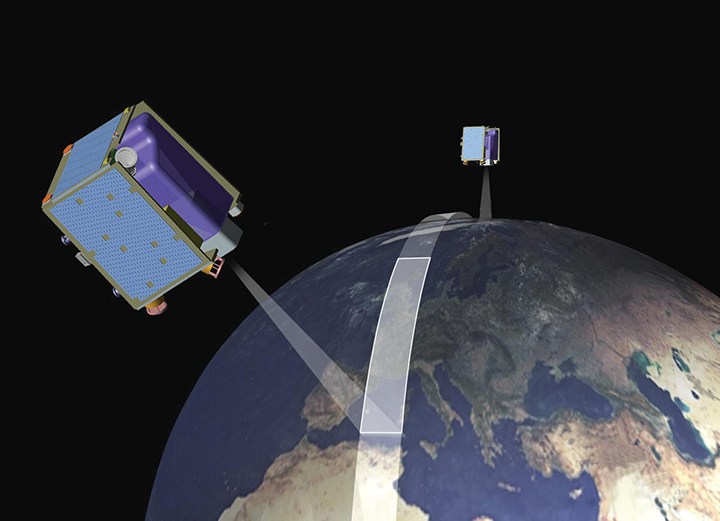
Photo: Rendering of the RapidEye satellite constellation in action around the Earth. Credit: Rmatt / CC BY-SA 3.0.